Sediment Cascades and Climate Change
The Problem
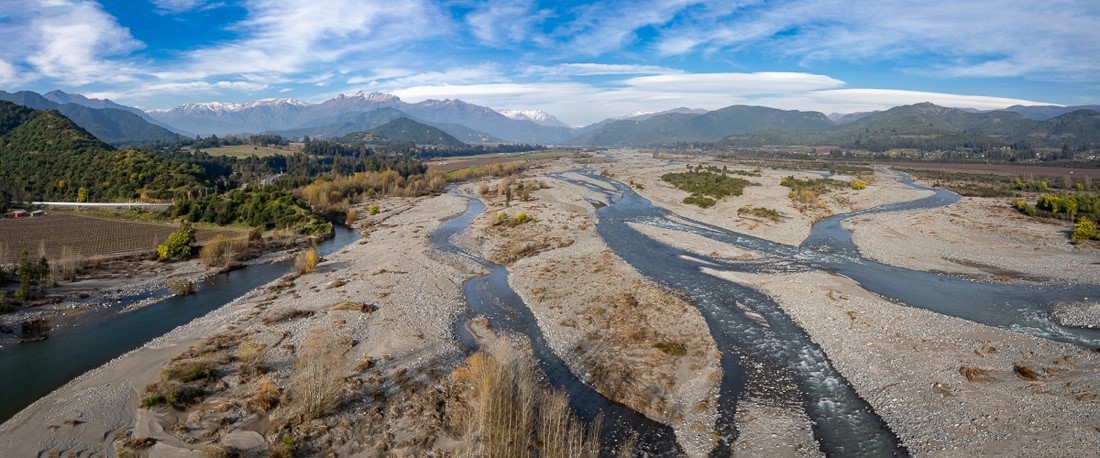
Many mountain populations throughout the Andes are exposed to catastrophic sediment transport events, debris flows, landslides, flooding, erosion and sedimentation hazards that are triggered by heavy rainfall, seismic activity, or rapid snow melt. It is likely that these sediment hazards will become increasingly impactful as landscapes adjust to changing rainfall patterns and glaciation over the next decades.
Observing the links between mountain climatology, hydrology and geomorphological change in complex mountain terrain, however, is a both logistically and scientifically challenging. As such, high elevation monitoring infrastructure is scarce and much landscape change goes un-noticed.
To avoid future sediment disasters, there is an urgent need for climatologists, hydrologists and geomorphologists to work together to identify the potential sources and triggers of sediment cascades effectively. To pinpoint vulnerable locations before these catastrophic events have occurred requires multiple knowledges and expertise to be combined. For example, we need to:
+ Resolve how precipitation patterns and storm characteristics are changing in mountain regions
+ Determine how climate change is impacting glacial trends and catchment hydrology
+ Identify vulnerable sediment sources and quantify their thresholds of mobilisation
+ Assess whether there is risk for the downstream cascading of events
+ Design effective networks for monitoring change at sufficient densities, scales, frequencies, and resolutions
Our Exploratory Workshop aims to bring together researchers working across these different research gaps to collaborate on projects that enhance our knowledge around geomorphic hazards and climate change. Together we can work to protect Andean mountain communities from climate change impacts.